Skip to main content
Search
Search This Blog
Bushwalks
Descriptions of various bushwalks, mainly in Tasmania
Pages
Home
Links
More…
Posts
Showing posts from 2008
Show all
December 30, 2008
Mt Monash
December 23, 2008
Mt. Hugel
December 06, 2008
Budawangs and Blue Mts
November 09, 2008
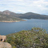
South Freycinet
October 18, 2008
South Wellington to North West Bay River
October 17, 2008
Salters Point
August 06, 2008
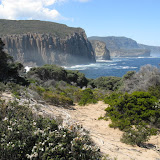
Crescent Bay & Mount Brown
July 28, 2008
Prosser Sugarloaf
June 27, 2008
Buckland Gorge
June 23, 2008
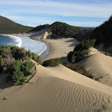
Plunkett Point to Lime Bay
June 19, 2008
Grasstree Hill
April 27, 2008
Mount Tyndall
April 08, 2008
Yellow Cliffs
March 29, 2008
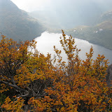
Mt Anne Walk
March 09, 2008
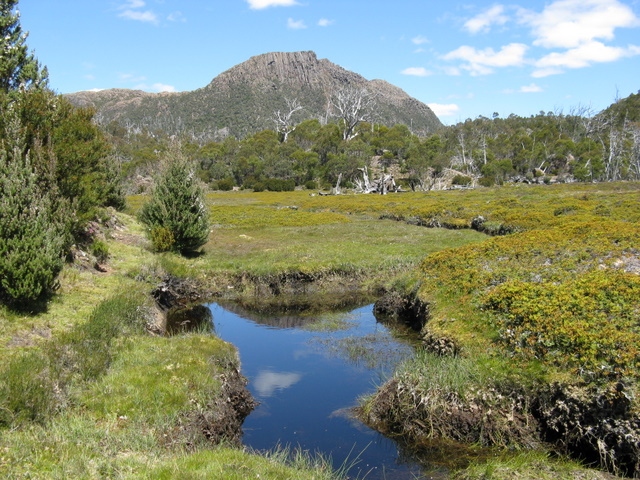
Circuit of Cradle Mt and Barn Bluff
February 22, 2008
Mt Connection
February 12, 2008
South Wellington
January 26, 2008
Mt Rogoona
January 04, 2008
Mt Marian
January 02, 2008
Trestle Mt
Newer Posts
Older Posts
Home