Skip to main content
Search
Search This Blog
Bushwalks
Descriptions of various bushwalks, mainly in Tasmania
Pages
Home
Links
More…
Posts
Showing posts from September, 2017
Show all
September 26, 2017
Fryingpan Hills Illa Cliffs
September 19, 2017
Woods Quoin
September 12, 2017
Gunners Quoin Risdon Hills
September 10, 2017
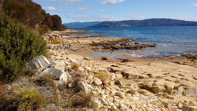
Cape Direction
September 01, 2017
Cape Queen Elizabeth
Newer Posts
Older Posts
Home