Skip to main content
Search
Search This Blog
Bushwalks
Descriptions of various bushwalks, mainly in Tasmania
Pages
Home
Links
More…
Posts
Showing posts from April, 2024
Show all
April 30, 2024
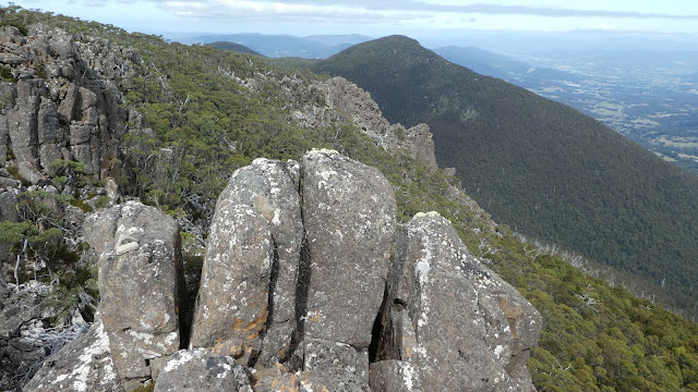
Devils Throne
April 27, 2024
Mount Misery 2024
April 16, 2024
Neika Cliffs
April 09, 2024
Cathedral Rock
Newer Posts
Older Posts
Home