Skip to main content
Search
Search This Blog
Bushwalks
Descriptions of various bushwalks, mainly in Tasmania
Pages
Home
Links
More…
Posts
Showing posts from 2009
Show all
December 27, 2009
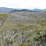
Mt Crooke
November 19, 2009
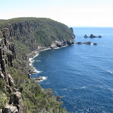
Dolomieu Point
November 18, 2009
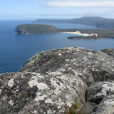
Arthurs Peak
November 10, 2009
Alpha Pinnacle Reserve
October 19, 2009
Walls of Jerusalem from Lake Ada
June 20, 2009
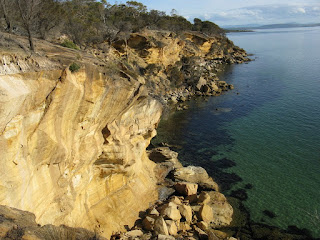
Green Head
June 06, 2009
South Cape Rivulet
May 30, 2009
Prosser Sugarloaf via Twamley
May 27, 2009
Montagu Thumbs
March 07, 2009
Western Arthur Range
February 08, 2009
Pelion Circuit
Newer Posts
Older Posts
Home