Huntingdon Tier
Tuesday 19 June
2018
Huntingdon
Tier is a sandstone hill area just east of Harry Walker Tier but is predominantly
private land. Some cliffs and rock formations are visible from a distance and the
walk went to some of these. Locations were picked out after looking at a map
and satellite images and one of the first of these was a narrow gully
penetrating well into the tier. This spot turned out to be the highlight of the
walk.
 |
| Fretted overhang roof |
As we
approached what seemed to be a cliff was visible through the trees and on
getting closer the scene became impressive, with large overhangs and caves on
the other side of the gully. Descent to the floor of the gully passed cliffs as
we crossed through deep green mossy rocks under Pomaderris to the cliffs. This side the sun was warm and lighting all
the features. It was a short scramble to get to the floor of the largest cavity
and from there we went further up the gully passed other caves and ascended to
the clifftops.


 |
| Overhang on the eastern side |
 |
| One of the clearings being reclaimed by nature |
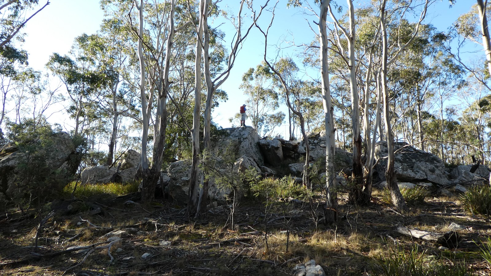 |
| Huntingdon Tier summit |
The route
from there went via the western side of Huntingdon where there were some
smaller but nearly as impressive cliffs. An old track was used for part of the
return walk, before branching off through to old cleared areas that were now
being reclaimed by silver wattles and other vegetation. A direct line was then
made for the summit (545m) before descending through the bush to the track and
on to the cars.
This walk is
on private property so permission from the owner is needed.
A photo album is online
Huntingdon Tier
Click image above to view
 |
| Map showing Huntingdon Tier |
Comments
Post a Comment