Skip to main content
Search
Search This Blog
Bushwalks
Descriptions of various bushwalks, mainly in Tasmania
Pages
Home
Links
More…
Posts
Showing posts from October, 2016
Show all
October 29, 2016
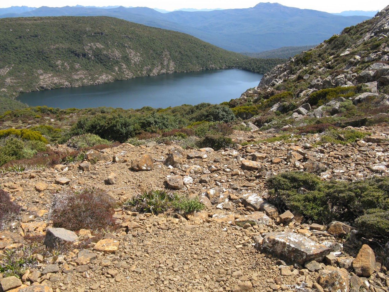
Hartz Peak
October 23, 2016
Granite Tor & Mount Proteus
October 19, 2016
Mount Faulkner
October 11, 2016
Wellington Circuit
Newer Posts
Older Posts
Home