Skip to main content
Search
Search This Blog
Bushwalks
Descriptions of various bushwalks, mainly in Tasmania
Pages
Home
Links
More…
Posts
Showing posts from 2020
Show all
November 24, 2020
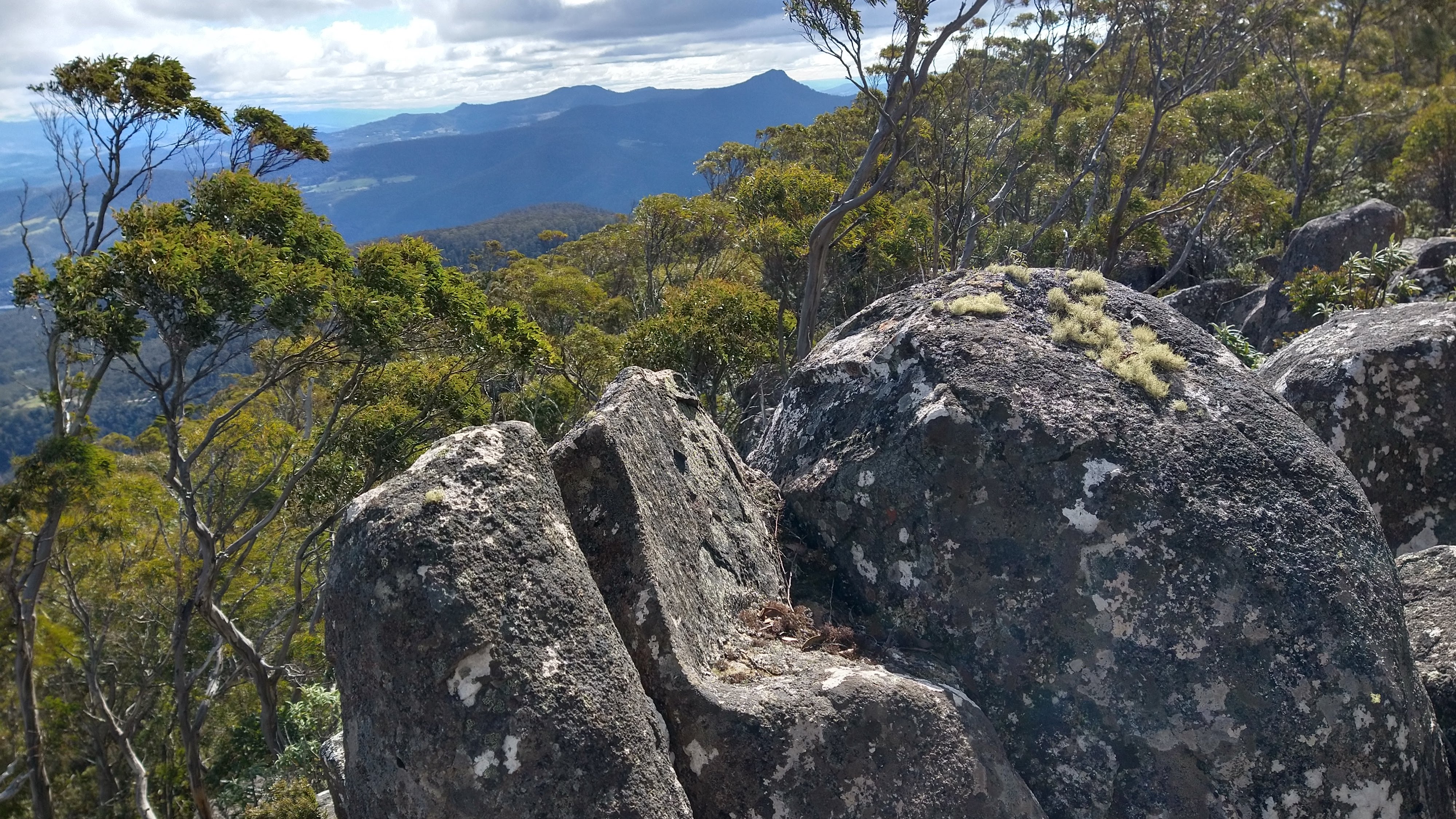
Davis Lookout 2020
November 13, 2020
Mike Howes Lookout
October 16, 2020
Sand River Cliffs 2020
September 29, 2020
Basin Hills 2020
September 15, 2020
A Second Visit
Newer Posts
Older Posts
Home