Skip to main content
Search
Search This Blog
Bushwalks
Descriptions of various bushwalks, mainly in Tasmania
Pages
Home
Links
More…
Posts
Showing posts from October, 2017
Show all
October 29, 2017
Shadow Lake 2016
October 27, 2017
Lake Skinner
October 15, 2017
Pinestone Valley 2017
October 10, 2017
The Day I Lost Sue and Christine
October 01, 2017
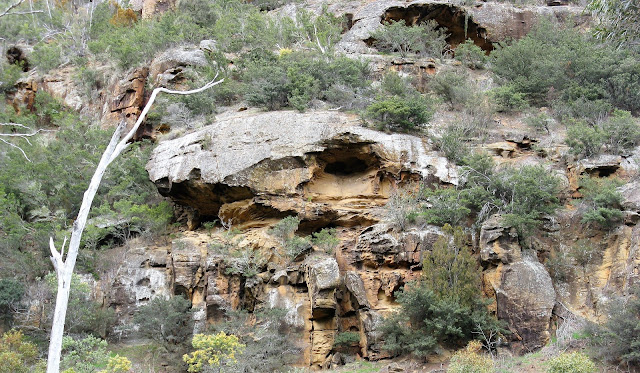
Caves Hill Oct 2017
Newer Posts
Older Posts
Home