Posts

Showing posts from January, 2013

Montagu Thumbs Falls Circuit
Image
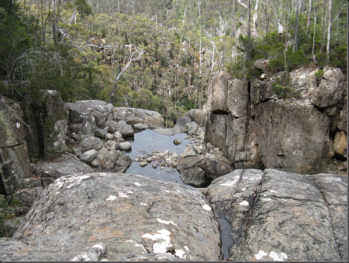
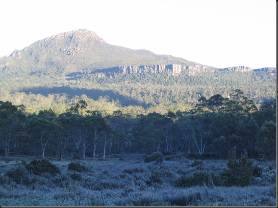
22 January 2013 The option we chose to visit some caches Top of Wellington Falls along the ridges and peaks overlooking the North West Bay River was by riding our bikes along the Pipeline Track then walking circuit via Wellington Falls, Montagu Thumbs and Cathedral Rock. After parking the bikes the three of us, Adrian, Dave  Peter set off on the well-built track to the falls, after that the rough track to the old Montagu fire trail was used. The last part of this is getting overgrown by Bauera as was parts of the old fire trail. There had been some overnight rain and the bushes were quite wet to push through. It was good going along the Thumbs cathedral ridge, Mount Montagu from the Falls track although parts are starting to degrade from use, then down the zig zags to North West Bay River in the rain. After crossing we then struggled up the Siphon track, which is an almost unrelenting grunt for nearly 800 metres at a 1:3 gradient. No wonder we were tired by the time we got on our bike
Traversing the Triangle

Image
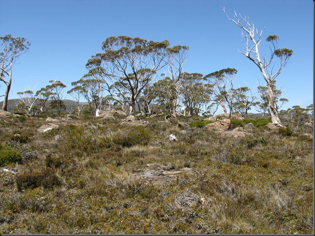
This is a trip report written soon after the walk in June 1990.  It may have been published in a magazine, but I am not sure now. Bushwalk to Mounts Byron, Cuvier and Manfred Does camping on a high plateau in strong winds and rain, pushing uphill through thick scrub, crossing a waist deep creek to set up camp at last light or forcing on frozen trousers, socks and boots in the early morning have any appeal to you. Well in spite of these obstacles, I and most of our party enthusiastically enjoyed just such an adventure. It all took place on a June long weekend when Dave T led Philip, Richard, Sandra, Nigel and I up from Narcissus to Byron Gap in fine windy conditions. Our objectives were a triangle of peaks, Mts Byron, Cuvier and Manfred, situated near Lake St. Clair in the southern section of Tasmania’s famed Cradle Mt. Lake St. Clair National Park. Each of these mountains is capped by dolerite overlying either a conglomerate or sandstone base and although not grouped under the nam

Lord Emmett Valley

Image
Thursday 3 January 2013 It was sunny and somewhat warmish, but the predicted wind did not seem to impact us much at all.  It was not far down the track that we met the first of the Boronia and there was plenty from then on.  In the valley to Lake Emmett it was quite splendid, especially  in the sheltered little spots. On the way I walked through a short wooded knoll and on reaching the other side failed to notice some stakes marking the route. The GPS told me where the planned destination was and my memory also had the crossing further up the knoll, so that is where I headed calling the others to follow.  This resulted in a bit of a circuitous route, which I was queried about later.  My answer was "what stakes"; well they were very obvious on the return so no wonder people wondered what I was up to.  Still as I said "we got there OK". On returning from a walk there was a road closed note on our car window, so we thought that no vehicles would be met coming up to