Skip to main content
Search
Search This Blog
Bushwalks
Descriptions of various bushwalks, mainly in Tasmania
Pages
Home
Links
More…
Posts
Showing posts from 2010
Show all
December 28, 2010
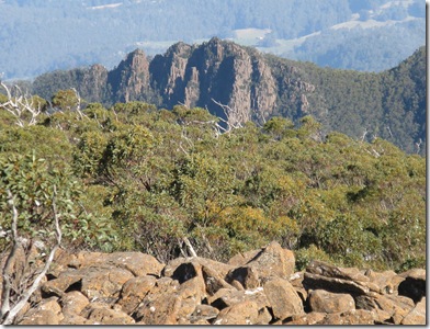
Monash Valley
November 13, 2010
Pelion Circuit
July 30, 2010
Hidden Falls
June 27, 2010
Grasstree Hill
June 25, 2010
Mother Browns Bonnet
June 12, 2010
Three Thumbs
June 04, 2010
Old Coach Road
May 26, 2010
Lower South Wellington
May 17, 2010
Devils Throne
May 11, 2010
Mt Marian
May 04, 2010
Tarn Shelf
April 18, 2010
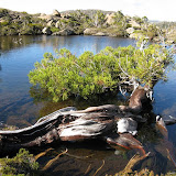
East Cradle
March 09, 2010
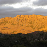
Mt Aldebaran – Western Arthur Range
March 05, 2010
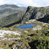
Long Tarns
January 24, 2010
Davis Lookout 2010
January 21, 2010
South Wellington Plateau from Big bend
January 14, 2010
Glen Dhu Rivulet
January 11, 2010
Haywoods Mt Wellington
Newer Posts
Older Posts
Home